How to read a rain radar: colors, movement and what they mean
Learn to tell in a minute whether rain is heading your way: what radar colors mean, how to estimate arrival time and where radar can be wrong.
What a radar actually shows
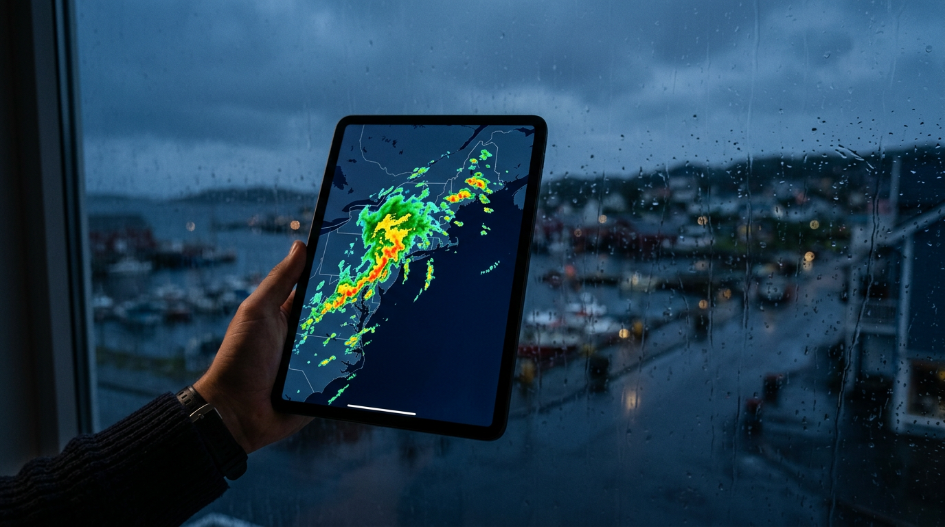
A weather radar sends out radio waves and measures how much of the signal bounces back from raindrops, snowflakes or hail. More and larger particles mean a stronger echo. That is why radar shows precipitation, not clouds: a dark cloud that is not producing rain will not appear on the map.
The picture on the map combines several radars and refreshes every few minutes. What you see is a few minutes old, which is plenty to judge whether rain is on its way.
What the colors mean
Exact shades depend on the data source, but the logic is nearly universal: the warmer and more intense the color, the heavier the precipitation.
- Light blue and green: light rain or drizzle.
- Yellow and orange: moderate to heavy rain. Time for an umbrella.
- Red and purple: downpours, and with the strongest colors, possible thunder and hail.
- Snow often uses its own color scale, so always check the legend.
Will it reach you?
Play the animation and watch which way the rain is moving. Imagine a straight line from the nearest rain cell to where you are. Divide the distance by the speed you see in the animation and you have a rough arrival time.
Where radar can be wrong
- Mountains can block the beam and hide light rain behind them.
- Rain that evaporates before reaching the ground shows up on radar but never reaches you.
- Small, fast showers can form and pass between two updates.
- Far from the radar, the beam is high above the ground, so low-level rain is harder to see.
See it for your city
Open the page of the city you care about to see the radar together with a seven-day forecast, for example London, New York or Sydney.